A Lawyer and a Line#
Cyril Radcliffe arrived in India on July 8, 1947. He had never visited South Asia before. He had never met its peoples, read its land surveys with specialist knowledge, or navigated its river systems. He had five weeks to draw the borders of two new nations — India and Pakistan — dividing a subcontinent of 400 million people along primarily religious lines through Punjab in the west and Bengal in the east. He consulted maps, census data, and a Boundary Commission staffed by judges who disagreed on almost every major point. He did not consult the villages, the irrigation canals, the seasonal migration patterns, or the shared market towns that structured the daily life of tens of millions on either side of the line he was drawing.
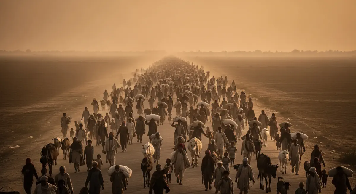
On August 17, 1947 — two days after independence had already been declared — Radcliffe’s awards were published. Within weeks, 14 million people were moving in both directions across the new borders. Between 200,000 and two million people were killed in the communal violence that accompanied the transfer, in massacres on trains, in roads clogged with refugees, in villages that had coexisted for generations and destroyed each other in days. The historian Yasmin Khan has called it “the central catastrophe of decolonisation.” It was also one of its most structurally predictable.
Time Is the Enemy of Geography#
Radcliffe’s task was structurally impossible. The decision to partition along religious lines was a political one, taken by the British government and the leaderships of the Indian National Congress and the Muslim League. Radcliffe was given the geometry to solve after the political decision had been made. But the religious distribution of Punjab and Bengal was not a clean map. Hindus, Muslims, and Sikhs lived in adjacent villages, shared wells, traded in the same weekly bazaars. The river systems — the Indus and its five major tributaries in the west, the Ganges and Brahmaputra in the east — did not follow religious demographics. They followed gravity, as rivers do.
The Indus river system presented the sharpest geographic problem. Divided by Radcliffe’s line, its headwaters remained in Indian-administered Kashmir while its agricultural lowlands fell within Pakistan. Pakistan’s entire western agricultural economy — the Punjab heartland that fed the country — depended on a river system whose headwaters were now in a contested, adversarial country. The Indus Waters Treaty of 1960, brokered by the World Bank after 12 years of negotiation, allocated specific tributary rivers to each nation. It has held, barely, against the backdrop of two full-scale wars, a near-war in 1999, and sustained military confrontation along the Line of Control in Kashmir that has never fully ceased.
The Geology of a Dispute#
Kashmir is not a contingent geopolitical problem. It is geography. The region sits at the confluence of three of Asia’s great mountain systems — the Himalayas, the Karakoram, and the Hindu Kush — and controls the passes through which armies, trade caravans, and water have moved for millennia. Whoever commands the high ground in Kashmir commands the strategic approaches to Pakistan’s Punjab heartland from the north and India’s northern plains from the west. Neither country can afford to concede this position. Neither country is capable of occupying it decisively. The result is a 79-year frozen conflict over terrain that the Radcliffe Line never formally addressed.
The British had administered Kashmir as a princely state whose maharaja, Hari Singh, was Hindu while the population was approximately 77% Muslim. Radcliffe’s awards did not determine Kashmir’s accession — that was left to the maharaja, who delayed until October 1947, when Pakistani-backed tribal fighters invaded. Singh acceded to India in exchange for military assistance. The first India-Pakistan war began immediately. Kashmir has been the subject of three full wars since, a de facto partition along a Line of Control that both governments officially reject as permanent, and a nuclear standoff that most strategic analysts regard as the most acutely dangerous territorial dispute on earth. It exists because Radcliffe’s line had to start somewhere, and the geography of the region offered nowhere clean to start.
The 38th Parallel: A Number on a Map#
Korea presents a different colonial inheritance producing a comparable wound. In August 1945, with Japan’s imminent surrender requiring immediate decisions about occupation zones, two young American staff officers — Colonel Dean Rusk and Colonel Charles Bonesteel — were given 30 minutes and a National Geographic map to draw a line dividing Korea into Soviet and American zones. They chose the 38th Parallel because it appeared to divide the peninsula roughly in half and kept the capital Seoul within the American zone. The choice took approximately half an hour.
The 38th Parallel has no geographic meaning whatsoever. It cuts across mountain ranges, river valleys, and farming communities with equal indifference to the physical world it transects. More consequentially, it divided Korea’s economic geography in a way that made neither half self-sufficient: the north contained most of the peninsula’s heavy industry, hydroelectric capacity, and mineral resources; the south held most of its agricultural land and population density. Neither portion was organised to function as an independent economic unit. Both were forced to become one anyway when the temporary occupation line hardened into a permanent international border after three years of catastrophic war between 1950 and 1953.
The Demilitarised Zone that emerged from the armistice is 160 miles long and 2.5 miles wide. It is among the most heavily fortified borders on earth, guarded by roughly two million soldiers on both sides. The Korean War officially remains unresolved — no peace treaty has ever been signed. The 38th Parallel, drawn in 30 minutes in 1945, remained the de facto border of a divided peninsula in 2026, 81 years after two American colonels with a road map made the most consequential cartographic decision of the post-war Asian order.
The Himalayas Teach a Different Lesson#
Marshall’s Prisoners of Geography offers a counterexample that places both Radcliffe’s partition and Rusk and Bonesteel’s line in stark relief. China and India share a border of approximately 2,100 miles running along the Himalayan range. They are the world’s two most populous nations, with competing territorial claims, a history of ideological antagonism, contested sections of their shared boundary, and a brief, bloody border war in 1962 that killed thousands on both sides. By any conventional analysis, they should be persistent military adversaries.
Yet apart from that 1962 conflict and periodic border skirmishes, China and India have not fought a major war. The reason is geography. The Himalayas are the world’s highest mountain range, averaging over 20,000 feet along the contested sections of the border. Moving a substantial military force across them is, for practical purposes, impossible. The geography enforces a de facto truce that no formal treaty has been able to guarantee elsewhere in the region. The border between India and Pakistan — Radcliffe’s line — runs through accessible terrain in Punjab and along the contested valley of Kashmir. The border between India and China runs through terrain that makes large-scale offensive operations prohibitively costly and logistically catastrophic. One border was designed by a lawyer in five weeks. The other was designed by plate tectonics over 50 million years. The inherited one is safer.
The Arithmetic of Haste#
Partitions drawn without consulting geography accumulate compound interest across generations. The 14 million who moved in 1947 raised children for whom partition was a formative historical trauma. India and Pakistan have fought three recognised wars and maintained near-continuous military confrontation for nearly eight decades. Pakistan spends approximately 4% of its GDP on defence — a figure that reflects not strategic ambition but geographic anxiety imposed by a border drawn in haste. The opportunity cost of that expenditure, in a country where more than 36% of children under five suffer from stunted growth due to malnutrition, represents a specific, quantifiable consequence of cartographic negligence.
Korea’s division has outlasted every geopolitical framework that produced it. The Soviet Union has dissolved, the Cold War has ended, and the United States and China have engaged in decades of complex economic interdependence. Yet the 38th Parallel remains — a reminder that lines drawn in 30 minutes can persist for generations after their authors are dead, their rationales forgotten, and their empires dismantled. Geography was never consulted. Geography is still waiting for an answer.