A Room Full of Rulers, a Continent Without a Voice#
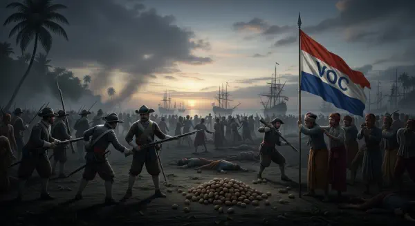
In November 1884, fourteen nations gathered in Berlin’s Imperial Chancellery at the invitation of Chancellor Otto von Bismarck. The agenda was the orderly partition of Africa. Representatives from Britain, France, Germany, Portugal, Belgium, Spain, Italy, the Netherlands, Denmark, Sweden, Austria-Hungary, the Ottoman Empire, Russia, and the United States attended. Not a single African leader was present. The continent being divided contained approximately 10,000 distinct political entities — kingdoms, confederacies, chiefdoms, and federations, many with centuries of documented history. None were invited. None were consulted.
Over the following three months, the delegates drew lines on maps. The lines followed no rivers. They acknowledged no mountain ranges. They respected no existing polities, trade systems, or ethnic boundaries. They were drawn with rulers on paper, in rooms where the primary concerns were European rivalries, commercial access, and preventing any single power from monopolising the continent’s resources.
The result was 50-odd colonies which became, after the independence movements of the 1950s and 1960s, the 54 states of modern Africa — the majority with borders that cut through ethnic, linguistic, and geographic logic with the blunt indifference of a cleaver. The Berlin Conference did not cause all of Africa’s problems. But it created the container in which most of them fester.
Geometry as Governance#
The colonial project operated on a simple and brutal premise: existing African political structures were illegitimate, African geographic knowledge was irrelevant, and what mattered was which European power could enforce its administrative presence. The “effective occupation” rule — established at Berlin and requiring that a colonial claim be backed by actual administrative control — incentivised rapid territorial seizure. Speed precluded careful study of what was being claimed.
The consequences of this cartographic haste were both immediate and structural. In West Africa, the Ewe people were divided between British Gold Coast and German Togoland. The Somali were distributed among British Somaliland, Italian Somaliland, French Djibouti, and Ethiopian territory — five separate administrations for one people. The Yoruba, Igbo, and Hausa-Fulani — three large, historically coherent ethnic groups with distinct languages, religions, and political traditions — were bundled into a single British colony that would later become the Federal Republic of Nigeria. That bundling was not made because the three groups shared a history or a geography. It was made because the Niger River and its tributaries made the territory commercially attractive as a single administrative unit.
Nigeria became independent in 1960 with a population of 45 million people across 250 ethnic groups, governed by a constitution designed for a country that the geography had never intended to exist as a single entity. By 1966 it had experienced its first military coup. By 1967 it was in a civil war — the Biafran secession — that killed between one and three million people. The borders were not the only cause. But they were the container that made the conflict inescapable.
The Wound That Straight Lines Made#
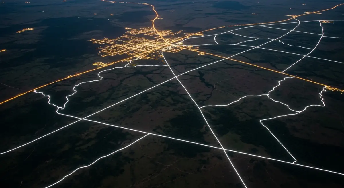
Africa’s colonial borders share a distinctive visual characteristic: an unusual proportion of them are straight. Approximately 44% of African borders follow lines of latitude or longitude — geometric abstractions with no relationship whatsoever to the physical world. By contrast, natural borders — rivers, mountain ranges, and watersheds — dominate European cartography, where centuries of trial and conflict gradually aligned political boundaries with geographic ones.
The practical implications are severe. Rivers are not merely landscape features; they are the basis of agriculture, transport, and shared economic life. When borders follow river banks, farmers on both sides tend a shared resource within a common framework. When borders cut across rivers, they divide not just territory but the economic systems built around water. The Nile is shared among 11 countries — a number made possible only by colonial partition. Managing its allocation has required decades of multilateral negotiation that remain incomplete and bitterly contested as of 2026, with Ethiopia’s Grand Renaissance Dam having renewed tensions with Egypt that date to the colonial era’s cartographic legacy.
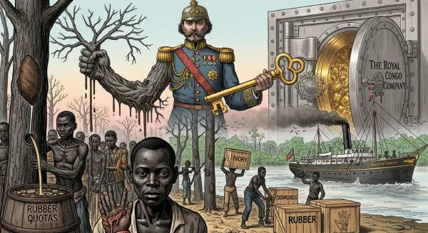
The Democratic Republic of Congo represents the most extreme expression of what straight-line borders produce over time. It is a country the size of Western Europe, containing hundreds of ethnic groups, crossed by one of the world’s great river systems, and bordered by nine countries — every one of them, along with the DRC itself, a product of European partition. The DRC has been in some form of conflict for most of its post-independence history. Its eastern provinces have been effectively ungoverned for decades, their instability driven by proximity to the mineral-rich borderlands of Rwanda and Uganda — states whose own colonial-era borders create demographic pressures that spill across the DRC’s unenforceable boundary. The conflict there has killed an estimated 5.4 million people since 1998, making it the world’s deadliest war since 1945 by most measures.
The Tribal Map Beneath the Political Map#
Marshall observes in Divided that Africa’s post-colonial leaders faced an impossible dilemma: redraw the colonial borders and risk endless secessionist violence, or maintain them and attempt to govern states with no natural demographic or geographic coherence. Almost all chose the latter, enshrined in the 1963 founding charter of the Organisation of African Unity (now the African Union), which pledged the inviolability of inherited colonial boundaries as the price of preventing a continent-wide succession of border wars.
This was a pragmatic decision. Redrawing every boundary to match ethnic or geographic logic would have required hundreds of simultaneous negotiations, virtually all of them violent. But it locked in the colonial geometry as the permanent framework of African politics. Ethnic minorities found themselves permanent minorities within states designed around the administrative needs of foreign powers. Communities that had coexisted for centuries under flexible pre-colonial arrangements were suddenly fixed on the wrong side of a border that neither they nor their neighbours had chosen.
Nigeria illustrates this arithmetic with particular clarity. Its northern region is predominantly Muslim; its south predominantly Christian. The fault line between them does not follow a river, a mountain range, or any natural geographic feature. It follows the administrative choices of Frederick Lugard, the British officer who merged the Northern and Southern Protectorates of Nigeria in 1914, largely for fiscal efficiency. The violence along that fault line — including the Boko Haram insurgency, which has displaced more than 2.4 million people in the northeast since 2009 — is the arithmetic of that decision, compounding over more than a century.
The Continent’s Long Ledger#
Africa’s story since independence is not one of unrelieved failure. It contains extraordinary achievements: Botswana has maintained democracy and relative prosperity since 1966. Rwanda rebuilt from genocide with remarkable institutional speed. Ghana’s peaceful democratic transfers of power stand as evidence that coherent governance is possible within colonial-era borders. These achievements are real and should not be obscured.
But they have been accomplished against structural resistance — borders that fragment natural economic regions, states that cannot govern distant peripheries without enormous coercive expenditure, and resources that attract external interference because the state claiming legal ownership lacks the geographic coherence to defend what it nominally controls. Every peacekeeping mission deployed to the Sahel, every UN operation in the eastern DRC, every food-security programme in the Horn of Africa represents a fraction of the unpaid bill from 1884.
The colonial cartographers were not individually monstrous. Most were functionaries, operating within an imperial system that treated African sovereignty as legally and morally nonexistent. But the maps they produced were acts of structural violence dressed as administration. Their straight lines remain legible in the landscape of conflict — and in the walls, fences, and refugee camps that mark the seams they left behind.